
Shred or Die · Italy
Ski Passo dello Stelvio in your browser
Ski or snowboard Passo dello Stelvio in Italy for free in your browser. Shred or Die builds the mountain from its real trail map: 9 named runs, 18 km of runs and 8 lifts, over 587 m of vertical from 2,768 m to 3,355 m. The longest run is Geister - Trincerone at 2.5 km. Ride the lifts back up, hit the jumps, race friends live or chase the fastest ghost down any run.
Free, no download, no account. Works on phones, keyboards and controllers.
Passo dello Stelvio by the numbers
- 587 mVertical
- 3,355 mTop
- 2,768 mBase
- 18 kmRuns, all told
- 9Named runs
- 8Lifts
The runs
Runs at Passo dello Stelvio
By grade
- Easy8
- Intermediate1
Grades as mapped on OpenStreetMap. Some resorts grade their own trail map differently.
The biggest runs at Passo dello Stelvio
| Run | Grade | Length | Drop | Steepness | Play |
|---|---|---|---|---|---|
| Geister - Trincerone | Easy | 2.5 km | 324 m | 13% | Ride |
| Geister 1 | Easy | 2.4 km | 269 m | 12% | Ride |
| Trincerone - Passo Stelvio | Easy | 1.5 km | 243 m | 17% | Ride |
| Payer Turistica | Easy | 840 m | 167 m | 20% | Ride |
| Geister 2 | Easy | 940 m | 158 m | 17% | Ride |
| 3 | Easy | 1.2 km | 156 m | 14% | Ride |
| Payer Agonistica | Intermediate | 630 m | 154 m | 25% | Ride |
| Livrio - Trincerone | Easy | 810 m | 152 m | 19% | Ride |
| Cristallo | Easy | 920 m | 149 m | 16% | Ride |
Lifts
Ride the lifts at Passo dello Stelvio
Every lift on the map runs in the game: 2 drag lifts, 2 magic carpets, 2 platters, 2 cable cars. Ride the chair up and watch the mountain from it, or ski off the top into the next run. The longest is Passo Stelvio - Trincerone, Stilfser Joch - Trincerone, 1.1 km rising 250 m.
- Passo Stelvio - Trincerone, Stilfser Joch - TrinceroneCable car · 1.1 km · 250 m up
- Geister IIDrag lift · 990 m · 180 m up
- PayerPlatter · 650 m · 166 m up
- CristalloPlatter · 810 m · 149 m up
- Trincerone - LivrioCable car · 800 m · 143 m up
- Geister IDrag lift · 530 m · 36 m up
How it plays
Riding Passo dello Stelvio in Shred or Die
Ski or snowboard
Carve, slash, butter, ride switch. Spins, flips and grabs off anything with a lip.
Race friends
Start a race or trick comp, send the link, and up to 8 riders drop in together.
Ghosts and replays
Chase the fastest run down any trail, then share your replay as a challenge.
Any controls
Keyboard, Xbox or PlayStation pad, or two thumb sticks on a phone.
WASD to steer, hold Space to crouch and pop, arrows to spin and flip, Q and E to grab, F rides a lift Left stick steers, right stick pops and grabs
Questions
Passo dello Stelvio in the game: FAQ
Can you ski Passo dello Stelvio in a video game?
Yes. Shred or Die has Passo dello Stelvio built from its real trail map and elevation data, free to play in any browser on a computer, phone or tablet. No download or account needed.
How many runs at Passo dello Stelvio are in the game?
9 named runs and 18 km of runs in all: 8 easy, 1 intermediate, as they're mapped on OpenStreetMap.
What is the hardest run at Passo dello Stelvio in the game?
By steepness, Payer Agonistica: 25% on average over 630 m, graded intermediate. The biggest drop is Geister - Trincerone, 324 m top to bottom.
Can you ride the lifts at Passo dello Stelvio?
Yes. All 8 lifts are in the game (2 drag lifts, 2 magic carpets, 2 platters), and you ride them back up between runs. The longest is Passo Stelvio - Trincerone, Stilfser Joch - Trincerone at 1.1 km.
Can I snowboard Passo dello Stelvio in the game?
Yes. Switch between skis and a snowboard from the game's menu, regular or goofy. Both carve, slash, ride switch, spin, flip and grab.
Can I race my friends at Passo dello Stelvio?
Yes. Start a race or a trick comp from Multiplayer in the game's menu and send the link. Up to 8 riders drop in off the same gate. On your own, race the fastest ghost down any run at Passo dello Stelvio.
Nearby
More mountains near Passo dello Stelvio
- Ski Bormio – Cima Bianca11 km away · Italy · 57 runs
- Ski Sulden12 km away · Italy · 43 runs
- Ski Santa Caterina Valfurva14 km away · Italy · 50 runs
- Ski Skigebiet und Minschuns15 km away · Switzerland · 24 runs
- Ski Cima Piazzi San Colombano16 km away · Italy · 28 runs
- Ski Livigno24 km away · Italy · 150 runs
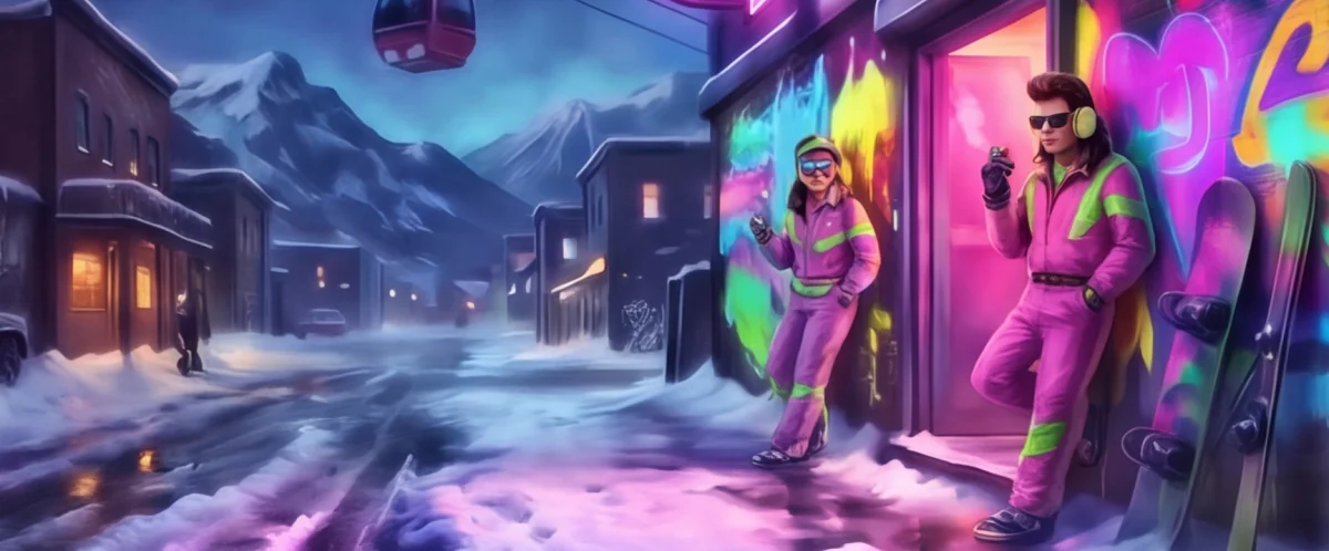
Drop in at Passo dello Stelvio
Free in your browser. Takes a few seconds to load the mountain.
Runs and lifts: © OpenStreetMap contributors (ODbL), via OpenSkiMap. Elevations from open terrain data. Lengths, drops and steepness are measured from the map, so they can differ from the resort's own figures.